
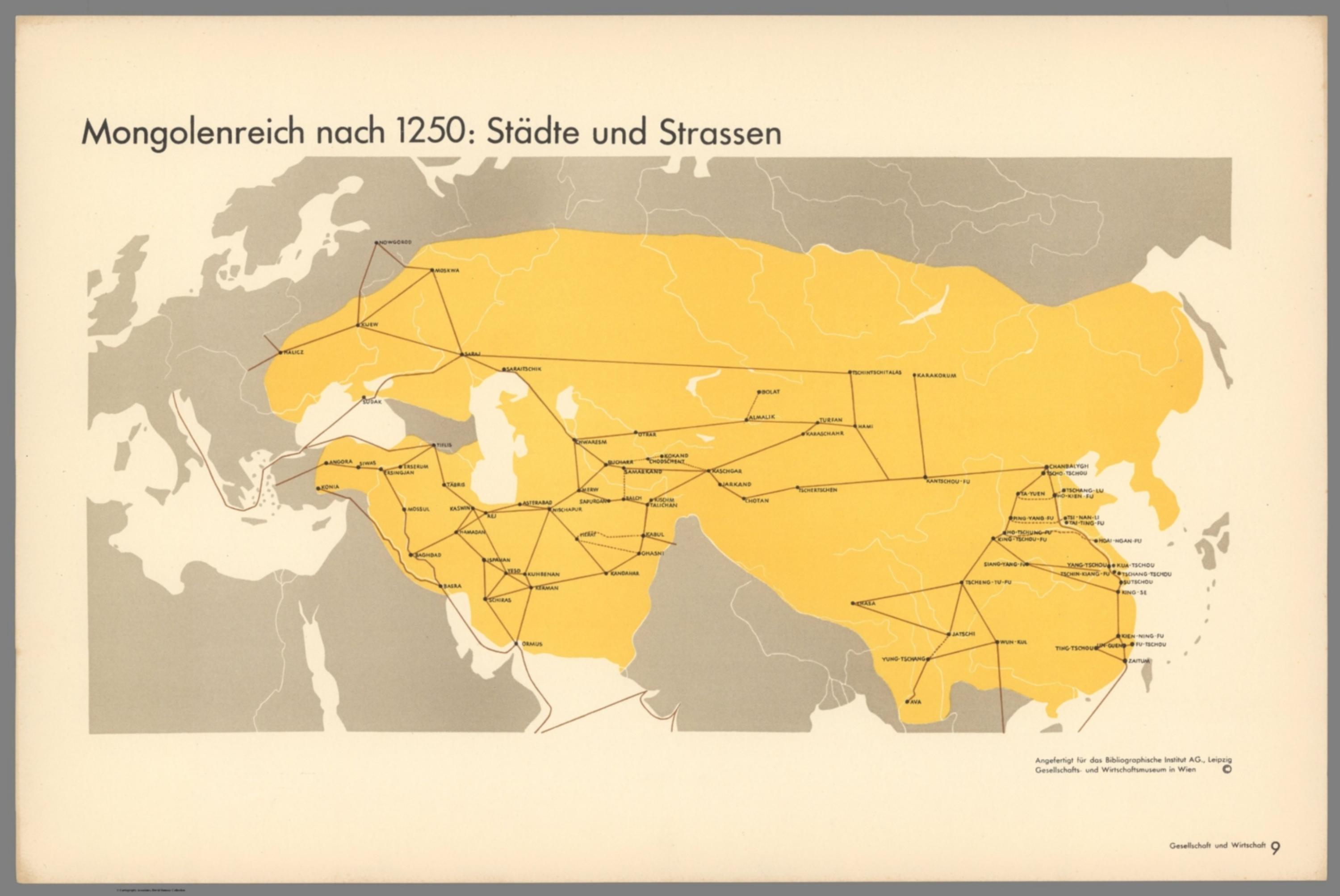
Gesellschaft und Wirtschaft: Bildstatistisches Elementarwerk - Mongolenreich nach 1250: Städte und Strassen [14080.012]
The pattern
This still is filed under Data as proof.
Define
A chart, map, or count that is the argument, not an illustration next to the argument.
Mechanism
Sighted evidence. The reader is asked to believe their eyes: a bar, a share, a spread on a map.
Verdict
The claim is comparative or quantitative and the figure can be read without a caption doing the sell.
Why it works
Subtraction is the technique. Everything a conventional atlas would draw - relief, borders of neighbours, place hierarchy, projection furniture - is deleted, leaving two visual facts: one field of colour and one network of lines. The flat yellow reads as a single political body rather than a patchwork, which is the argument, and because the roads are the only fine detail on the page the eye follows them automatically and discovers the connectedness for itself. Setting every city label in the same tiny capitals refuses to rank the cities, so the network rather than any capital becomes the subject.
Steal this when
Steal this whenever you need to show that a set of scattered points is actually one connected system - a distribution footprint, a supply chain, a franchise network. Flatten the base to grey, give the system one colour, and let the connecting lines be the only fine detail on the page.